Summary
- 01
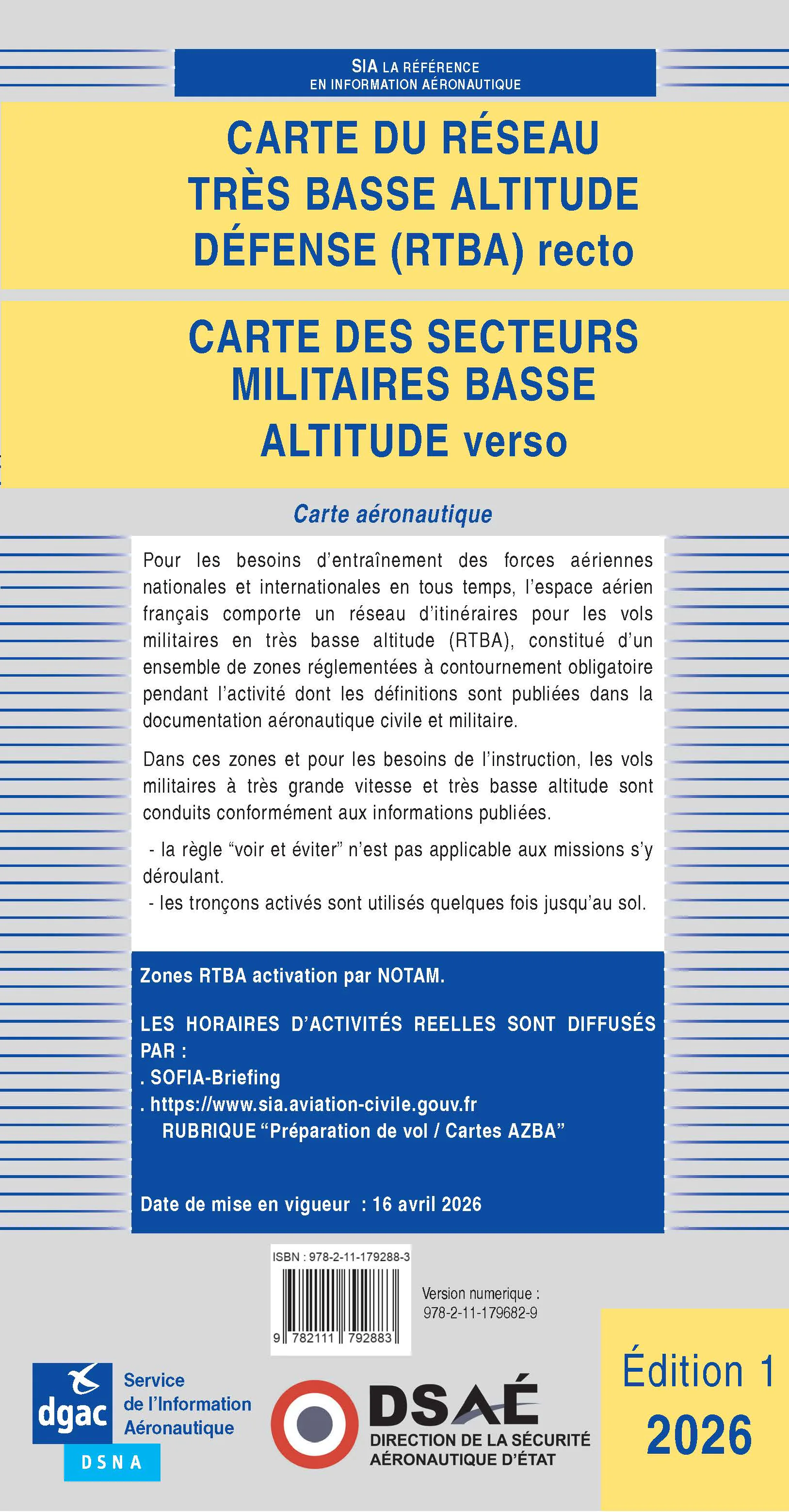
The French SIA’s 2026 RTBA chart, effective from 16 April, defines a connected network of regulated segments; detouring around a segment is mandatory whenever it is active.
- 02
Official material says fighters can exceed 500 kt, about 900 km/h, often using automatic terrain-following, while their crews do not provide collision avoidance during these missions.
- 03
SIA says the AZBA forecast display does not replace NOTAM, SUP AIP or AIP information, and low-level civil or military traffic may still operate outside RTBA activation periods.
A cross-border warning rests on a binding airspace rule
DHV has warned paraglider and hang-glider pilots travelling to France, particularly those heading towards the Vosges, to include the RTBA military low-level network in their airspace assessment. Current material from France’s Aeronautical Information Service, SIA, provides the primary basis for that warning. It defines the RTBA as connected regulated segments used for military training at very low altitude and very high speed, not as an ordinary route that can be crossed after an informal visual check.

The first 2026 edition of the official RTBA chart took effect on 16 April 2026. Its central rule is unambiguous: an active segment has to be avoided. That does not mean the whole network is permanently closed, and a static overview cannot establish the status of every segment at a chosen time. Lateral and vertical limits belong to current aeronautical publications, including AIP ENR 5.1, while activation remains dynamic.
Speed and mission profile remove the margin for visual avoidance
The French SIA says fighters operating in the network can exceed 500 kt, approximately 900 km/h, and generally use an automatic terrain-following mode. It also states that their pilots do not provide collision avoidance during those missions. This explains why avoiding an active zone is a rule rather than a recommendation: a slow, visually small free-flight aircraft cannot build a credible safety plan around spotting a fast jet at the last moment.
DHV adds a free-flight-specific warning that common awareness systems such as FLARM, FANET or OGN must not be assumed to make a paraglider or hang glider visible to military aircraft or the control chain. France’s transport ministry says collisions or near-collisions between defence aircraft and civilian VFR users prompted the official awareness campaign. The evidence supports that bounded risk; it does not show that every military aircraft is invisible in every other airspace.
AZBA is a planning layer, not a complete clearance source
SIA’s AZBA page provides a graphical view of planned low-altitude zone activity and is the most accessible way to see which RTBA segments may be active. On the same page, however, SIA states that forecast AZBA information does not replace NOTAM, SUP AIP or AIP material. A map colour can reveal a potential conflict, but it cannot by itself prove that a route is available or supersede a later piece of official aeronautical information.
That hierarchy matters for free flight because saved screenshots, third-party applications and local network data can describe only one source or one moment. The durable conclusion is to use current official information for every plan involving French airspace and to treat an active segment as unavailable. Route choice, permission and weather remain separate questions. This report sets out the verified boundary and is not a substitute for an official flight briefing.
Inactive does not mean empty at low level
SIA also makes an important qualification: civil or military aircraft may fly at low altitude outside scheduled RTBA activity. In class G airspace, the ordinary see-and-avoid rule then applies to everyone. Confirming that a segment is not shown as active therefore removes one specific restriction; it does not certify an empty block of air or cancel the broader responsibilities associated with traffic, terrain, local rules and conditions.
The next information to watch is not a fixed newsroom deadline but each day’s SIA activation material, relevant NOTAM or SUP AIP, and any AIP amendment to a segment’s boundaries. GoFly is not claiming that a particular segment was active when this article was published, and it assigns no single floor to the entire network. Two conclusions remain stable: active RTBA segments must be avoided, and their changing status must be checked against French official aeronautical information.